With winter in full swing and the pandemic still hitting hard, it is more difficult than ever to get out and still distance yourself from others. Whether you are trying to stay local or just avoid the crowds of new hikers, it can be difficult to know where to go.
Using the distance feature in wilderlist.app my friend and I were able to find a nice remote area to discover on the western Massachusetts border, about the same driving distance as the White Mountains are from our Boston homes.
The mountains are not the same height or as vast as the Whites, but I found that did not take away from the beauty of the area.
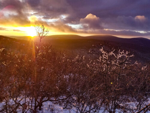
We started up a short but steep 2.5mile hike to the top of Alander Mountain, MA (2,231ft). The climb was mostly covered by trees in a valley, but led to a nice open top where you are able to see the Catskill Mountains passed the acres of farmland.
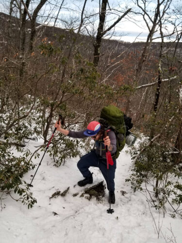
Heading along the ridge we made our way towards Brace Mountain, NY (2,316ft).
The trail is a gradual incline of around 3.5 miles that takes you through some absolutely beautiful New England forests.
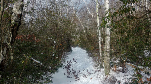
The birch and pine trees eventually gave way to a nice partial exposed ridgeline. The entire way was led by deer, coyote, and rabbit tracks. This was by far the most enjoyable section of the hike.
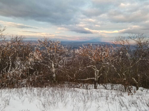

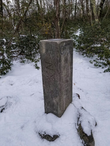
The peak of Brace Mountain, NY (2,316ft), exposed similar to Alander Mountain, MA, is simple with just an American flag symbolically hanging on for dear life. Along the way back to the car, we added on .8miles to see the MA, NY, and CT tripoint (where they all meet).
While it was not the most difficult hike and the beauty was more subtle, it did offer plenty of New England charm and it is always good to get out into the quietness of the woods.