This summer has been all about 2 day loops for my friend Kyle and I. Kyle had the idea to head up to the Wild River Wilderness where he spent several years working as a cook at AMC’s Cold River Camp. It’s an area he calls the “Hidden Gem of the White Mountains”. I had never been so I was more than eager to check out a new area of the White Mountains.
North and South Baldface were obvious choices to hit for my New Hampshire 100 Highest list and Eagle Crag for my 52 With a View list. But for Kyle, the biggest attraction – pun intended – was the rarely visited little West Baldface, on the New Hampshire 200 Highest.
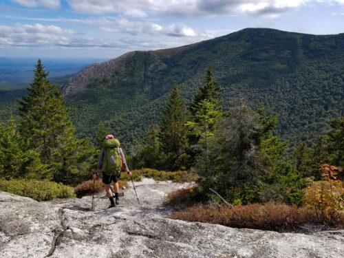
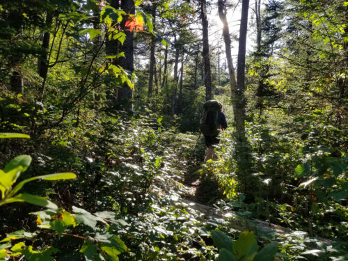
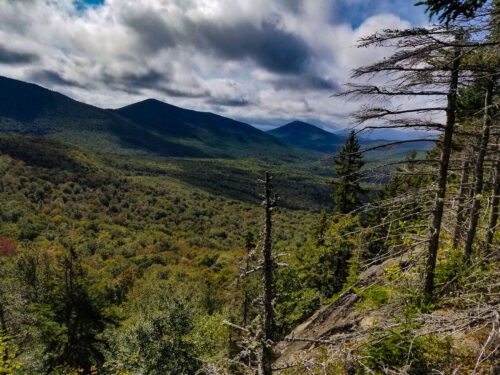
We started up South Baldface via the Baldface Circle Trail. The ascent was beautiful and slightly technical, with nice open face rock slabs to scramble up.

Once on the top of South Baldface, it was a short hop over to North Baldface. The views were clear and spectacular. Our only concern was our low supply of water. With such a dry summer, one of our planned water sources had dried up. With this in mind, we decided to save our hike up West Baldface for day 2 and instead head to our camp destination where we could safely hydrate along the way.
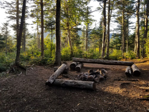
Taking the overgrown Wild River Trail to the isolated Perkins Notch Tentsite, we had our fingers crossed we would hit some water sources sooner rather than later. The Wild River did not disappoint. We came across a couple of still running tributaries with enough water to quench our thirst. It was only a few miles before we arrived at the campsite, but we were happy regardless.
The camp was quiet with only a few other hikers. We felt like one of the cool kids, because everyone there was sporting a Dyneema/Cuben Fiber tent and we fit right in with our ZPacks and Tarptents.
Waking up early the following day, we made a quick stop to check out the nearby North Ketchum Pond. No moose sightings, unfortunately they must’ve risen even earlier than us.
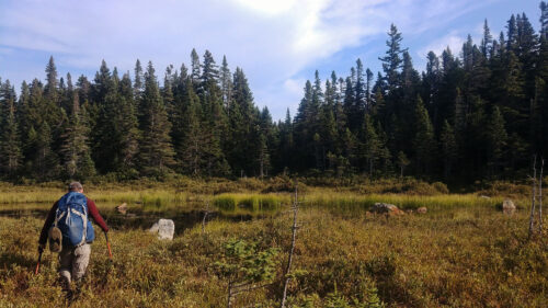
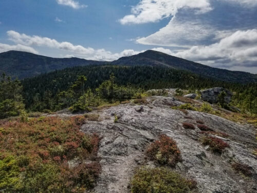
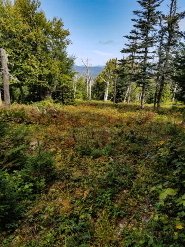
After a short backtrack along the Wild River Trail we cut into the woods and began the bushwhack towards our main goal of the trip- West Baldface. The forest was surprisingly open, most likely from past logging in the area, with plenty of small herd paths leading deeper into the wilderness.
It was clear by the droppings and tracks that we were following moose and bear paths.
With lookout spots every so often, we were thrilled to be there.

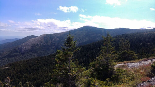
The peak was so open and spectacular that we decided to kick off the trail runners and relax with a warm cup of coffee.
After a luxurious break we begrudgingly descended the mountain, wishing we could spend the rest of the day relaxing at the peak.

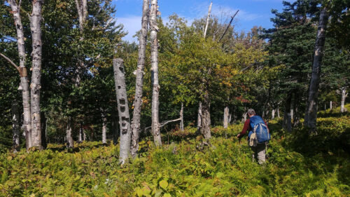
The hike down was as enjoyable as the peak, with open birch forest and wildlife everywhere.
The valley was filled with large round imprints, some definitely from sleeping bears and maybe more from moose. We came across at least 15-20 of these spots mixed in between thigh high ferns.
A little nervous we might actually stumble onto a napping black bear, we heard a rustle in a patch of nearby brush. Suddenly 3 grouse loudly took off in a hurry. Laughing off the startle, we were able to watch at least 6 more fly off from what was most likely a nesting area.
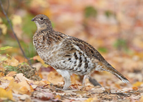
Source: A ruffed grouse. Wikipedia, CC BY-SA 3.0
Shortly after we came across a hawk drinking from a stream. It quickly took off to higher ground.

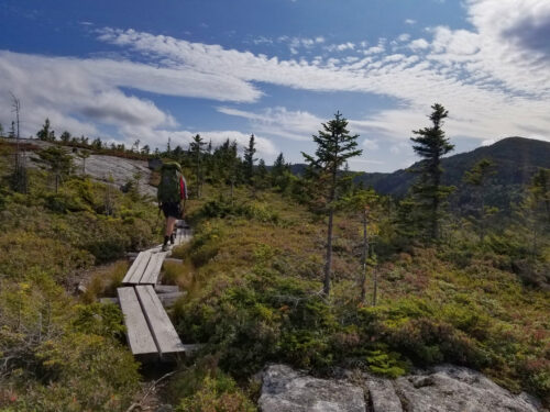
The rest of the hike was relatively quiet. Making our way back up to the Baldface ridgeline, we stopped off at Eagle Crag for my 52 With a View list. We then took the Bicknell Ridge Trail back down to the car, saying our goodbyes to the last views of the Baldfaces as we descended back below the tree line.
My only hesitation to recommend this area is so I can leave it for myself!